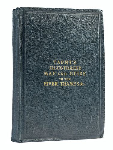
Taunt, Henry W., 1878 (ca),
A new map of the River Thames, from Thames Head to London, (on a scale of two inches to a mile), from entirely new Surveys finished during the Summer of 1878... Illustrated by one hundred photographs., (Oxford: [Henry W. Taunt & Co.]) [Third edition] [
Δ]
Themes:
England London Maps Tipped-in photographs and books illustrated with photographs