| |
ALOS (Advanced Land Observing Satellite)
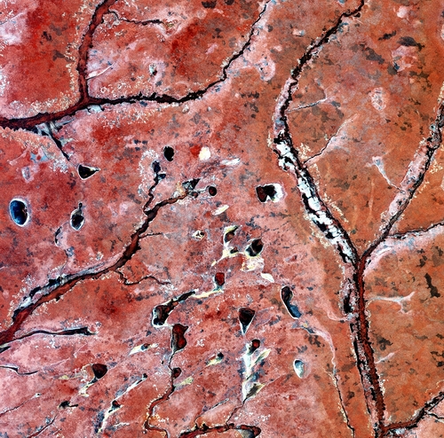
Waters of the Zambezi
2010, 21 May
Colour image
ESA - European Space Agency
Jaxa, ESA, Id: 226086
LL/56814
Tributaries of the Zambezi River in Western Zambia are featured in this image acquired by ALOS, Japan's four-tonne Earth observation satellite.
ALOS (Advanced Land Observing Satellite) captured this image on 23 August 2009 with its Advanced Visible and Near Infrared Radiometer, which is designed to chart land cover and vegetation in visible and near-infrared spectral bands with a resolution of 10 m.
ESA is supporting ALOS as a Third Party Mission, which means ESA uses its multi-mission European ground infrastructure and expertise to acquire, process and distribute data from the satellite to its wide user community.
| |